
This is a live blog. The 352today team will continue to post updates on the weather threat as it develops this weekend. Check back frequently.
OCALA, FL (352today.com) – UPDATE, 5:00 p.m.: Watch the 5 p.m. update from the National Hurricane Center on what is now Tropical Storm Debby.
A Hurricane Warning is now in effect for the Florida Gulf coast from the Suwannee River to the Ochlockonee River in the Panhandle.
A Tropical Storm Warning is now in effect for the Florida Gulf coast east of the Suwannee River to Yankeetown.
UPDATE, 4:55 p.m.: Citrus County joins Levy County in issuing evacuation orders.
The county says a mandatory evacuation order is in effect for Evacuation Zone A, which includes all low-lying areas west of U.S. Highway 19 and some additional areas east of 19.
The county has also issued a voluntary evacuation for all low-lying areas and anyone residing in campers, tents, mobile homes, manufactured homes, or any structure not capable of withstanding sustained winds up to 60 mph.
UPDATE, 12:25 p.m.: Levy County Emergency Management has issued a mandatory evacuation for people living in:
- recreational parks
- mobile homes
- manufactured homes
- low lying areas and coastal communities
Levy County residents can call 352-486-5155 or 352-486-5576, if you have questions.
Shelters opened at noon Saturday.
Anyone with special needs should go to Bronson Elementary School. General population and pet friendly shelter is at Bronson Middle High.
UPDATE, 11:40 a.m.: On Saturday, Alachua County Emergency Management are warning of impacts from the storm. “We can expect to see heavy rains, gusty winds, and localized flooding, but the impacts could change depending on how long the system stays over the Gulf,” said the county in a release. “It is important to remember that Alachua County is already between 4-7 inches above our normal 30-day rainfall totals, so our area is already saturated.”
The county says that means it may not take as much rain to cause some areas to flood.
“As of right now, this storm is expected to begin impacting Alachua County on Sunday, so residents and visitors should be taking steps early to secure property in areas that are at high risk for flooding,” said the county. “Homes and other properties in flood prone areas should be assessed to determine if there are ways to protect the property from flooding danger.”
To aid residents, Alachua County has activated the 311 Emergency Information Line. You can also call 352-264-6557, if 311 is unavailable in your area.
“This is for questions and rumor control,” said the county.
Emergency managers also urge you to register for the county’s alert system. Text the word “ALACHUA” to 888-777.
UPDATE, 11:00 a.m.: The National Hurricane Center (NHC) has now issued a Storm Surge Warning for the coast of Florida from Aripeka to the mouth of the Aucilla River.
In a public briefing, NHC Director Michael Brennan said the storm is expected to strengthen and could be a low-end hurricane when it makes landfall early Monday morning.
A Storm Surge Warning means there is a danger of life-threatening inundation, from rising water moving inland from the coastline, during the next 36 hours in the indicated locations. Brennan said to expect anywhere from 3 to 5 feet of flooding from storm surge in the impacted area.

UPDATE, 10:45 a.m.: Watch the update from the National Hurricane Center at 11 a.m. ET.
ORIGINAL, 10:15 a.m.: A storm system brewing in the Atlantic will likely dump torrential rains over the Florida peninsula this weekend.
As of Saturday morning, the hurricane center labeled the system Tropical Depression Four.
The National Hurricane Center in Miami said there’s a 90% chance it will strengthen into a tropical storm by Saturday night as it curves northward into the Gulf where the water is extremely warm, with temperatures approaching 92 degrees.
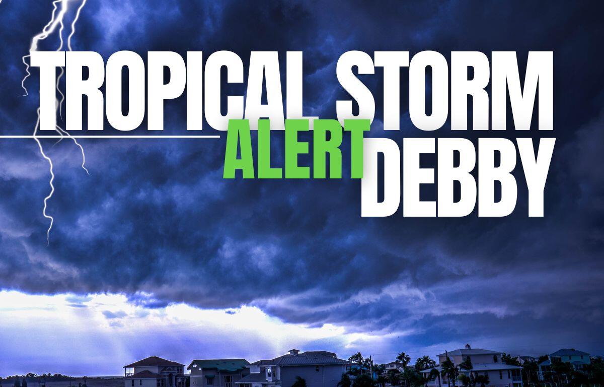
The next name on this season’s list is Debby.
A Hurricane Watch is in effect for Aucilla River to Yankeetown. A Hurricane Watch means that hurricane conditions are possible
within the watch area. A watch is typically issued 48 hours before the anticipated first occurrence of tropical-storm-force winds,
conditions that make outside preparations difficult or dangerous.

Hefty rainfall forecasted
Meteorologists say the most significant impact from this storm will be the rainfall. NHC says to expect totals of 5 to 10 inches, with maximum rainfall up to 15 inches across portions of Florida. “This rainfall may result in areas of locally considerable flash and urban flooding, with isolated river flooding possible,” the 8 a.m. advisory stated.
|SANDBAG STATIONS: Where to fill sandbags in the 352
Florida Gov. Ron DeSantis declared a state of emergency for most Florida counties on Thursday which extends from the Florida Keys to the western Panhandle. Many other counties have also issued their own emergency declarations including Marion County.
While the forecast track still remains uncertain, some models predict it could come ashore as a tropical storm on Sunday and cross over Florida’s Big Bend region. Hurricane Idalia made landfall in the Big Bend last August, leaving significant damage in its wake along the Nature Coast. Fierce winds and a wall of water from the Category 4 storm left behind mud, muck and debris in Cedar Key and many people who didn’t head evacuation calls had to be rescued in Crystal River.
Flooding concern
The forecast for this developing system is especially concerning for low-lying coastal and urban areas that were inundated by dangerous floods earlier this year.
“Regardless of development, heavy rains could cause areas of flash flooding across Florida, Cuba, and the Bahamas through the weekend,” the advisory said.
Torrential rains from a tropical disturbance in June left many Florida roads impassable, swamping school buses and stranding residents as cars floated away down flooded streets.
The Associated Press contributed to this report.