
MARION COUNTY, FL (352today.com) – We told ya this week’s false spring wouldn’t hold, and it won’t–but it will stick around for most of the weekend, according to the National Weather Service.
Friday and Saturday will see foggy mornings before temps climb into the mid-80s. Sunday brings a chance of showers as the next cold front moves through, with temperatures Sunday night dropping to the high 30s.
Friday, Feb. 20
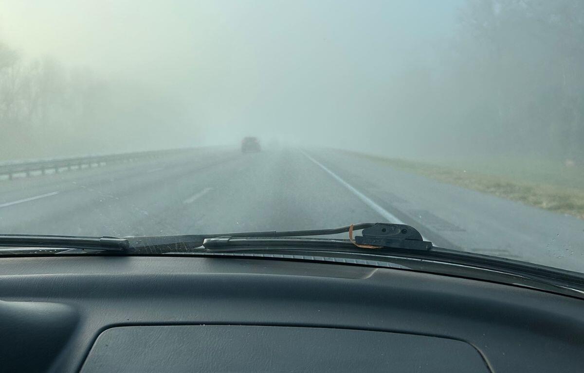
Day: Widespread dense fog, mainly before 9 a.m. Otherwise, mostly cloudy, then gradually becoming sunny, with a high near 85. Southwest wind 5 to 11 mph, with gusts as high as 21 mph.
Night: Patchy fog after 1 a.m. Otherwise, mostly clear, with a low around 59. Southwest wind around 5 mph becoming calm in the evening.
Saturday, Feb. 21
Day: Patchy fog before 8 a.m. Otherwise, sunny, with a high near 85. Light south wind becoming southwest 5 to 10 mph in the morning. Winds could gust as high as 21 mph.
Night: A 30 percent chance of showers after 1 a.m. Partly cloudy, with a low around 62.
Sunday, Feb. 22
Day:
A chance of showers before 10 a.m., then a chance of showers and thunderstorms between 10 a.m. and 1 p.m., then a slight chance of showers after 1 p.m. Mostly sunny, with a high near 75. Chance of precipitation is 40 percent.
Night: Partly cloudy, with a low around 38.