
MARION COUNTY, FL (352today.com) – Following a weekend of near-record temperatures across much of the state, the National Weather Service forecasts a return to more familiar North Central Florida levels this week.
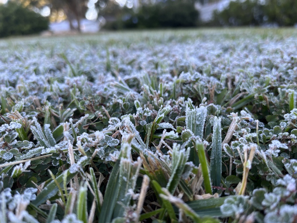
Things will be cooler than they have been recently, with another front moving through after some significant rain chances on Wednesday. Be ready for frost Thursday night.
Here are the daily forecasts for this week:
Monday, Jan. 12: Partly sunny, with a high near 64. Northeast wind 8 to 10 mph, with gusts as high as 17 mph.
Monday night: Mostly cloudy, with a low around 43. Northeast wind 5 to 7 mph.
Tuesday, Jan. 13: Partly sunny, with a high near 67. North wind around 5 mph becoming calm in the afternoon.
Tuesday night: Mostly cloudy, with a low around 50.
Wednesday, Jan. 14: A 40 percent chance of showers, mainly after 1 p.m. Cloudy, with a high near 63.
Wednesday night: A 50 percent chance of showers. Mostly cloudy, with a low around 47.
Thursday, Jan. 15: A 20 percent chance of showers before 1 p.m. Mostly sunny, with a high near 59.
Thursday night: Patchy frost after 4 a.m. Otherwise, clear, with a low around 29.
Friday, Jan. 16: Patchy frost. Otherwise, sunny, with a high near 58.
Friday night: Mostly clear, with a low around 35.