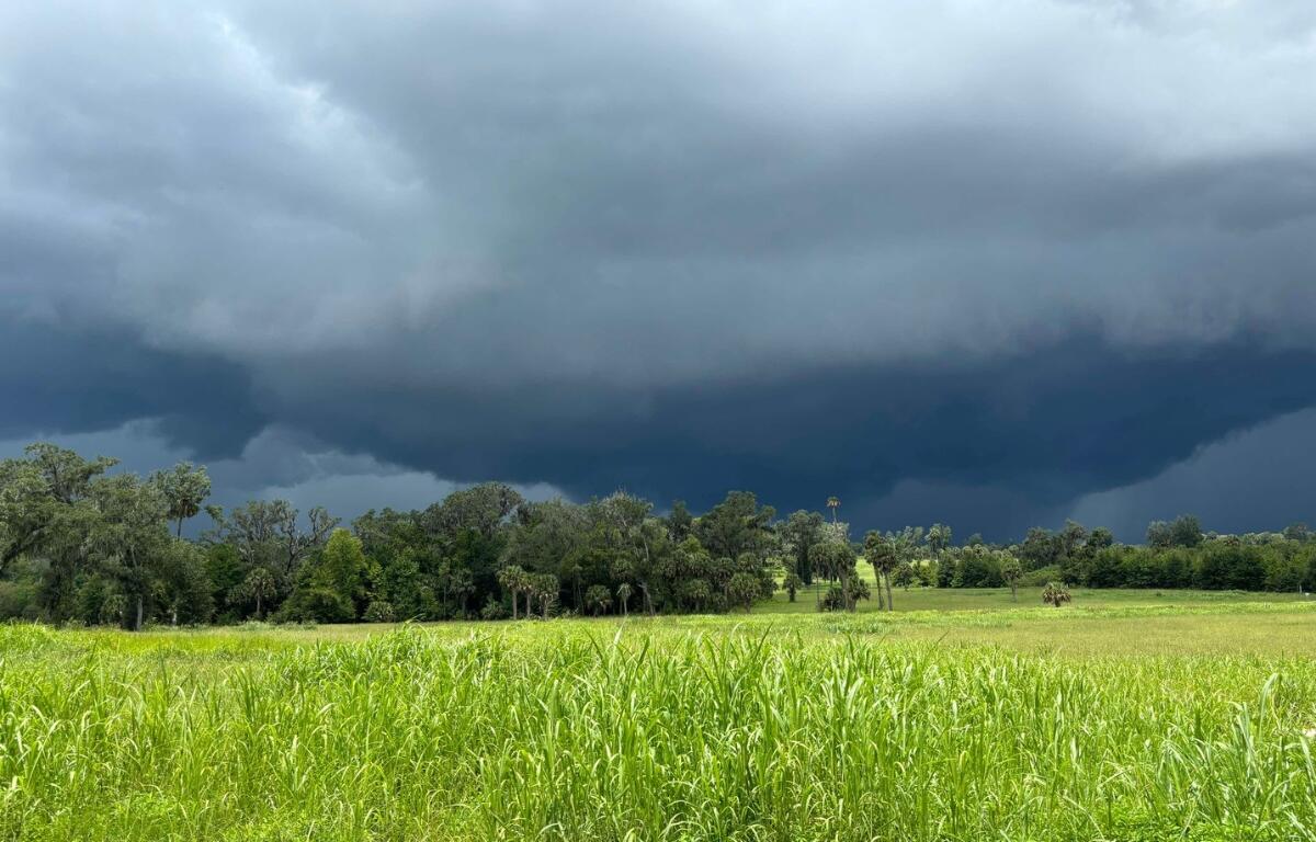

MARION COUNTY, FL (352today.com) – The National Weather Service (NWS) is advising of a strong thunderstorm impacting areas of Marion County that could potentially bring flooding.
The NWS says it is tracking a severe thunderstorm over Ocala, moving southeast at 10 mph. The advisory includes a chance for wind gusts up to 40 mph that could knock down tree limbs and blow around unsecured objects.
A flood advisory has also been activated by the NWS until 3 p.m. Saturday, July 27. The NWS says that areas affected include low-lying areas in Marion County including Ocala, Ocala Airport, Reddick, Lowell, Dunnellon, and Rainbow Lakes Estates.
More information regarding flood safety can be found at the NWS website.