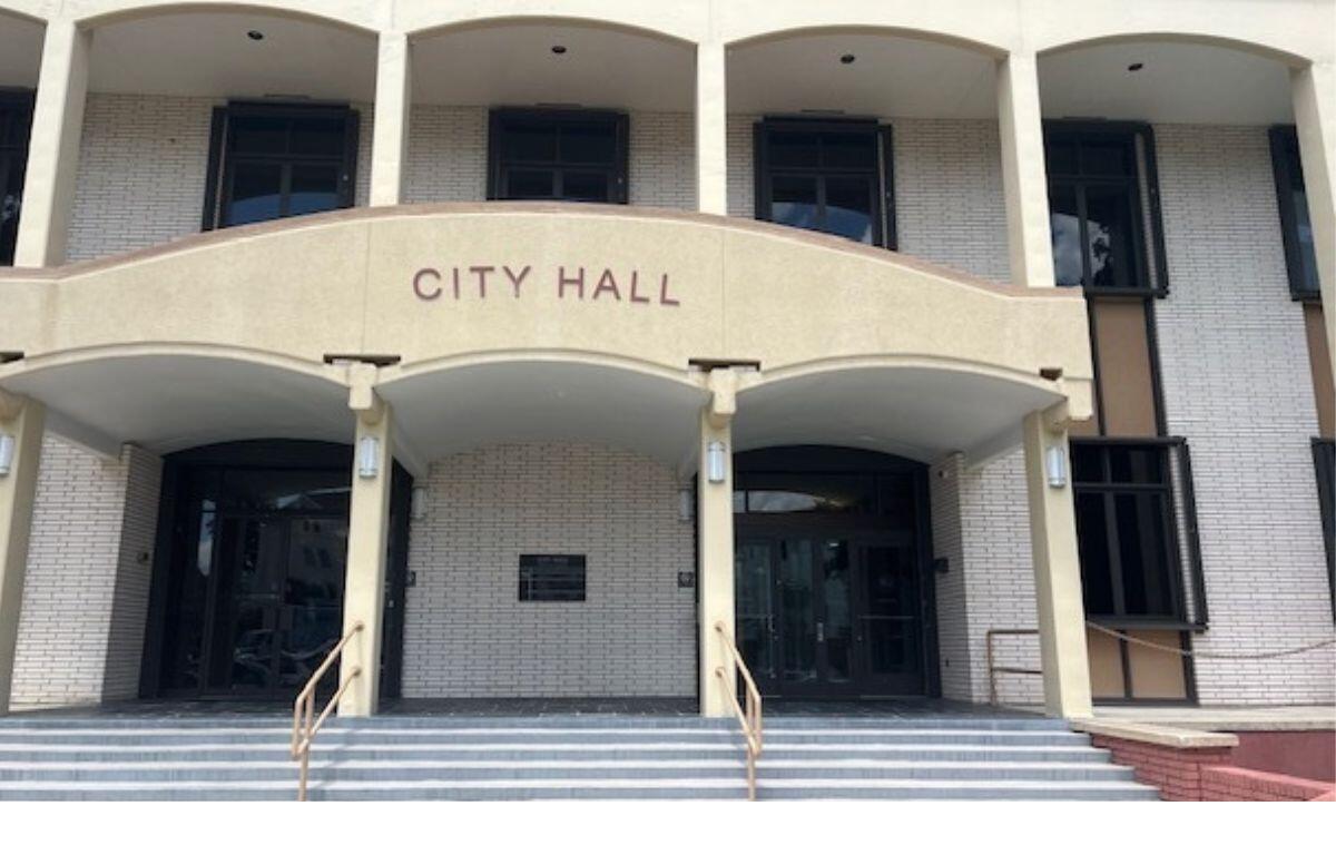

OCALA, FL (352today.com) – The Ocala City Council voted unanimously on Tuesday, Oct. 21, 2025, to approve a request for transmittal to the Florida Department of Commerce regarding a text amendment to a future land use plan regarding 75.93 acres on two parcels of land.
The applicant, KAS Ocala LLC, made the request for approval.
The current application is for rezoning to planned development. The entire parcel is 251.09 acres, with the future land use policy area comprising 75.93 acres. The existing land is vacant and undeveloped, and the future land use designation would be medium density/special district.
There are two properties in question that apply to the text amendment. One 50.42-acre property is actually west of both I-75 and SW 38th Ave, and the second 25.51-acre property is to the west of that parcel, on 43rd Ct. The application itself is based on timing, said Jeff Shrum, City of Ocala growth management director. The subject property fronts SW 38th Ave., SW 44th Ave. and SW 43rd Ct., which are classified as urban collector roadways.
The approval of transmittal is not an approval of the amendment itself. The amendment would have to come back for a final approval, said Shrum.
Initial steps
The agent representing the applicant was Fred Roberts, Klein & Klein, PLLC. The applicant is putting forth the request at this time because there are other subsequent applications tied to the request, including planned development rezoning along with a planned development Standards Book, that are currently under review. The development agreement hasn’t been submitted yet.
Roberts said that this request serves to allow the clock to start. It’s a first step that facilitates transmittal to the state so they can make comments in connection with the land use policies.
Traffic studies have already been done and are in place to be brought to council with the planned development.
The comprehensive plan text amendment has to go to the state for review. The process for the expedited review takes about 30 to 45 days, then comes back to the City of Ocala, which then schedules a final hearing, said Shrum.
Interest and unease
There were several letters of opposition from residents of nearby Bear Track Ranch regarding the proposed construction of 1,500 units, expressing concerns that it would erase the natural buffer of green space, destroy wildlife habitat, and create issues with traffic, noise and safety.
History of the ordinances and land use
On September 4, 2007, the Ocala City Council adopted a Future Land Use Map, FLUM, Amendment LUC05-0030 through Ordinance 5466 pursuant to a stipulated settlement agreement, which changed the future land use of a 50.42-acre portion of the subject property from professional services to retail services.
On January 22, 2013, the city council adopted comprehensive plan amendments consistent with the “Ocala 2035 Vision” plan, which eliminated the retail services future land use classification; the subject property is currently designated as Medium Intensity/Special District. Deleting future land use policy 18.13 would allow for PID, Public Improvement District, 2380-000-001 to be developed at a maximum intensity of 4.0 FAR (floor area ratio), which would equate to 8,785,180 square feet for the 50.42-acre policy area.
For the other parcel in question, on December 18, 2007, the City Council adopted a Future Land Use Map Amendment LUC07-0034 through Ordinance 5767, which changed the future land use of a 25.51-acre portion of the subject property from low density residential to medium density residential.
On January 22, 2013, the City Council adopted Comprehensive Plan Amendments consistent with the 2035 Vision, which eliminated the medium density residential future land use classification; the subject property is currently designated as Medium Intensity/Special District. Deleting Future Land Use Policy 18.24 would allow for PID 23812-001-00 to be developed at a maximum density of 30 dwelling units per acre, which would equate to 765 residential units on the subject 25.51-acre policy area.
Staff findings and recommendations:
- Deletion of the Future Land Use Policies would allow for future mixed-use development in a
manner consistent with the current Medium Intensity/Special District future land use designation. - The maximum residential density of the subject portion of PID 23812-001-00 would increase from
12 dwelling units per acre to 30 dwelling units per acre, a potential increase of 459 residential units
for the 25.51 acres. - The maximum non-residential intensity of the subject portion of PID 2380-000-001 would increase
from 0.75 FAR to 4.0 FAR, a potential increase of 7,137,958 square feet for the 50.52 acres. - The Medium Intensity/Special District Future Land Use Classification requires that any new
development be regulated by a form-based code, Planned Development, PD, zoning district, or
Chapter 163 Development Agreement. - Further restrictions and safeguards may be imposed through the PD rezoning process similar to the
purpose and function of Policy 18.13 and 18.24. - No level of service or public facility issues has been identified–further analysis will be required
prior to development.