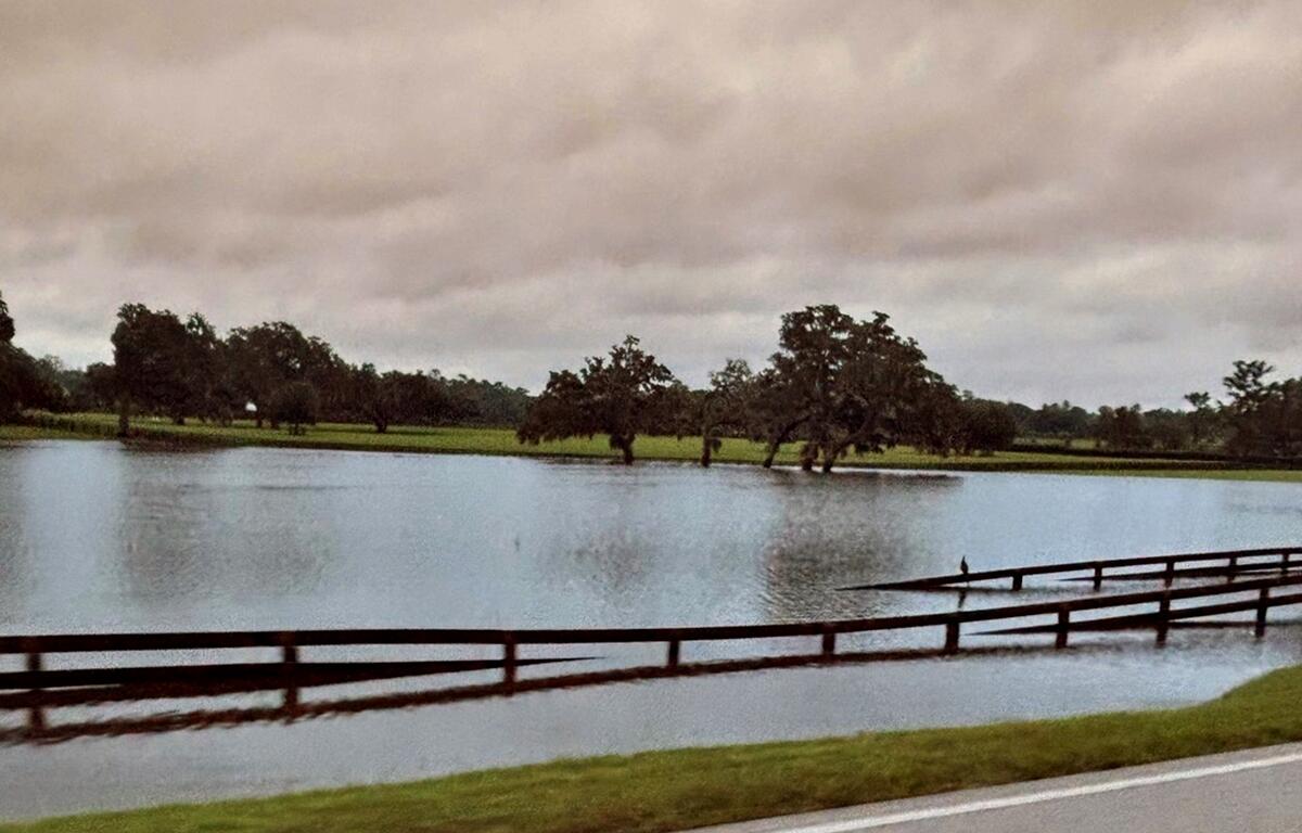

OCALA, FL (352today.com) – Severe weather events and climate change can put certain areas at risk.
A meeting seeking public input regarding the City of Ocala’s flooding vulnerability assessment was held on Jan. 14, 2025, at the Mary Sue Rich Center at Reed Place.
Project Scope and Goals
The public outreach was the third task in a project that includes 11 tasks: identifying VA data standards, holding a kickoff meeting, conducting public outreach meetings, acquiring background data, exposure analysis, sensitivity analysis, finalizing the vulnerability assessment, identifying focus areas, presenting findings, and developing an adaptation plan.
The city received a grant from the Resilient Florida Grant Program to conduct this assessment. It is funded in part by the City of Ocala and the Florida Department of Environmental Protection through the Resilient Florida Grant Program.
Understanding the Vulnerability Assessment
“The vulnerability assessment is basically looking at the areas that are prone to flooding, and identifying those city assets for infrastructure, or what we would call culturally or historically significant buildings and items that would be prone to the flooding as well,” said Sean Lanier, City of Ocala PE, CFM city engineer/director of engineering and water resources.
A vulnerability assessment, established by state statute, identifies items that are at risk of flooding.
Data Collection and Analysis
The city is reviewing topographic and flood scenario data to inventory its assets. Using this data, it will conduct an exposure analysis to determine the depth of flooding throughout the city and complete the vulnerability assessment.
|TRENDING: Kevin Sheilley honored for transformative leadership in Ocala
Critical assets prone to flooding will be identified through GIS mapping, and a risk analysis will follow. Focus areas highly vulnerable to flooding will also be pinpointed.
Next Steps: Adaptation Planning
The city has been awarded another grant to create an adaptation plan. “Once we have the vulnerability assessment done, we’ll do an adaptation plan, which will be a plan which will be CIP (Capital Improvement Plan) projects and other things we can do to mitigate the risk of those assets flooding,” said Lanier.
He added, “Whether it’s doing something to the asset, if it’s a building structure, you can raise the building, so it’s above the base flood elevation. You can raise the roads. You can create other storage areas for stormwater runoff, so the road doesn’t flood anymore, so instead it goes to either a pond or a DRA (drainage retention area), a conveyance system to take it somewhere else. That will be in the next phase. The first phase is to identify it all.”
Provide Your Input
Residents wishing to contribute their input can take a survey to participate in the process.