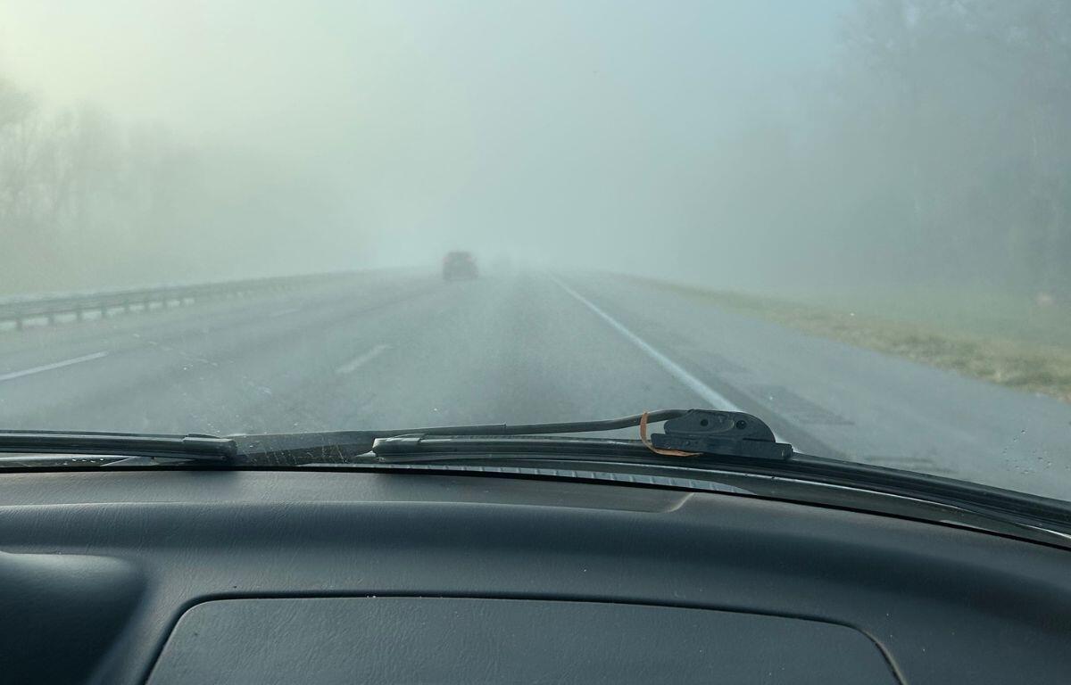

OCALA, FL (352today.com) – If you live in Ocala and surrounding areas, you’ll likely wake up to dense fog Monday morning, reducing visibility on roadways. The most important thing to remember is to take your time. Drive with caution. Use your low beams and keep a safe distance from the car in front of you.
While thunderstorms are expected to arrive Monday night, the rest of the week remains fairly dry with sunny days and comfortable nights.
Here’s your day-by-day outlook from the National Weather Service.
Monday: Patchy fog before 9 a.m. Otherwise, mostly sunny, with a high near 90. Breezy, with a south wind 6 to 18 mph, with gusts as high as 30 mph.
Monday Night: Showers and thunderstorms likely, then showers and possibly a thunderstorm after 10 p.m. Low around 59. Breezy, with a southwest wind 6 to 15 mph becoming northwest after midnight. Winds could gust as high as 23 mph. Chance of precipitation is 80%.
Tuesday: A 10% chance of showers before 7 a.m. Mostly sunny, with a high near 76. Northwest wind around 7 mph.
Tuesday Night: Mostly clear, with a low around 52.
Wednesday: Sunny, with a high near 79.
Wednesday Night: Mostly clear, with a low around 56.
Thursday: Sunny, with a high near 82.
Thursday Night: Mostly clear, with a low around 57.
Friday: A 20% cahnce of showers after 2 p.m. Sunny, with a high near 83.
Friday Night: Mostly clear, with a low around 54.
Get your 352 weather info here anytime you need it or download our free app. Be sure to enable the weather alert to receive notifications to your cellphone.