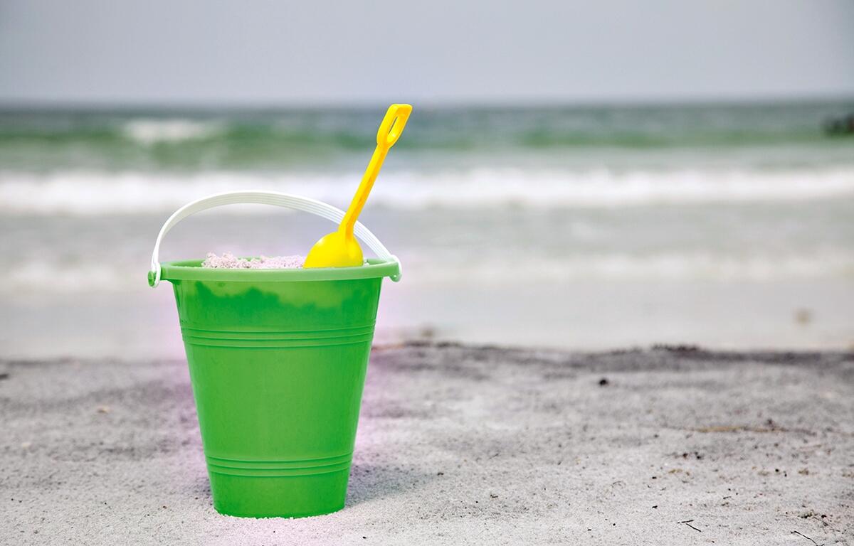

OCALA, FL (352today.com) – With abundant sunshine heavily featured this week, many of us will head to Daytona Beach to enjoy the sunshine, but officials are warning of a higher risk of rip currents along the coast.
Rip currents are powerful, narrow channels of fast-moving water that can quickly pull swimmers away from shore. They can form near breaks in sandbars, piers, or jetties, and are often hard to spot from the beach.
The National Oceanic and Atmospheric Administration offers ways to stay safe:
- Swim near a lifeguard whenever possible.
- If you get caught in a rip current, stay calm—don’t try to swim against it. Swim parallel to the shoreline until you’re out of the current, then head back to the beach.
- Always check local beach conditions before you go.
Enjoy the beach, but stay aware – a little preparation can go a long way toward a safe, fun day in the sun.
Here’s your day-by-day outlook from the National Weather Service.
Monday: A 30% chance of showers and thunderstorms, mainly after 4 p.m. Patchy fog before 9 a.m. Otherwise, mostly sunny, with a high near 92. East wind 5 to 7 mph.
Monday Night: Showers and thunderstorms likely, mainly before midnight. Mostly cloudy, with a low around 66. East wind 5 to 11 mph, with gusts as high as 17 mph. Chance of precipitation is 60%.
Tuesday: A 20% chance of showers and thunderstorms after 2 p.m. Mostly sunny, with a high near 85. East wind 5 to 7 mph.
Tuesday Night: Mostly clear, with a low around 60.
Wednesday: Sunny, with a high near 89.
Wednesday Night: Mostly clear, with a low around 61.
Thursday: Mostly sunny, with a high near 90.
Thursday Night: Mostly cloudy, with a low around 63.
Friday: Mostly sunny, with a high near 90.
Friday Night: Partly cloudy, with a low around 64.
Get your 352 weather info here anytime you need it or download our free app. Be sure to enable the weather alert to receive notifications to your cellphone.