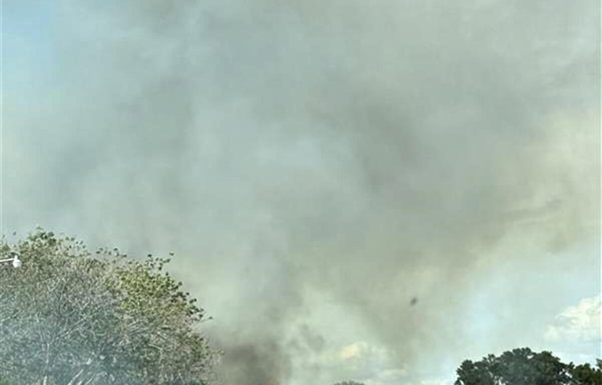

OCALA, FL (352today.com) – It’s warm, it’s dry, and it’s windy; a dangerous combo during Florida’s peak wildfire season. With gusty winds and critically low humidity, the wildfire risk across Marion County is on the rise this week.
Officials say now’s the time to prep – not when you see smoke in the sky. Clear debris, follow burn laws, and stay alert.
Here’s your day-by-day outlook from the National Weather Service.
Monday: Sunny, with a high near 87. Calm wind becoming southwest 5 to 9 mph in the morning.
Monday Night: Clear, with a low around 56. West wind 5 to 8 mph becoming calm in the evening.
Tuesday: Sunny, with a high near 83. Light west wind increasing to 5 to 10 mph in the morning. Winds could gust as high as 16 mph.
Tuesday Night: Partly cloudy, with a low around 57. West wind 5 to 9 mph.
Wednesday: Sunny, with a high near 81. North wind around 6 mph.
Wednesday Night: Clear, with a low around 50.
Thursday: Sunny, with a high near 85.
Thursday Night: Clear, with a low around 57.
Friday: Sunny, with a high near 88.
Friday Night: Mostly clear, with a low around 59.
Get your 352 weather info here anytime you need it or download our free app. Be sure to enable the weather alert to receive notifications to your cellphone.