
NORTH CENTRAL, FL (352today.com) – Hurricane Debby reached the Big Bend coast of Florida around 7:00 a.m. Monday.
As forecasted by the National Hurricane Center (NHC), the storm is bringing with it damaging floodwater from heavy rain and storm surge.
The storm made landfall as a category 1 storm near Steinhatchee. At one point the NHC said it had maximum sustained winds of 80 mph.
|STORM STORIES: High Springs police cruiser crushed by tree downed by Debby
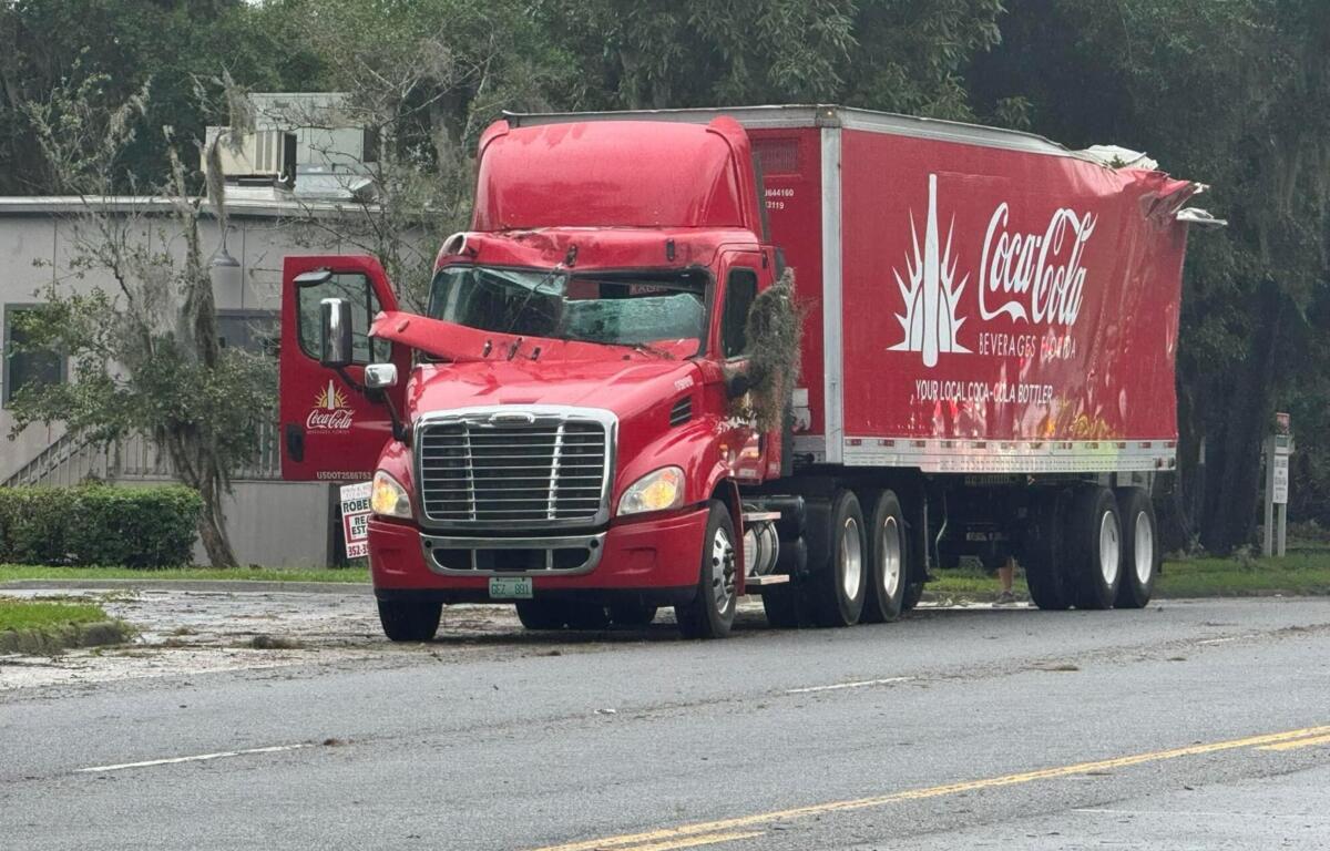
While Debby came ashore in one of the least populated areas of Florida, the storm’s feeder bands are doing damage far inland as well.
The images tell the story. Scan the photos submitted by our social media followers, as well as listeners of our sister stations 93.7 K-Country and 92.5/95.5 Wind-FM.


Some areas have already received several inches of rain with more still to come.
“We expect to have several rivers and streams go into major flood stage,” said Kevin Guthrie, the state’s director of emergency management.
Navigate the slideshow to see more photos from Debby’s destructive impact.