
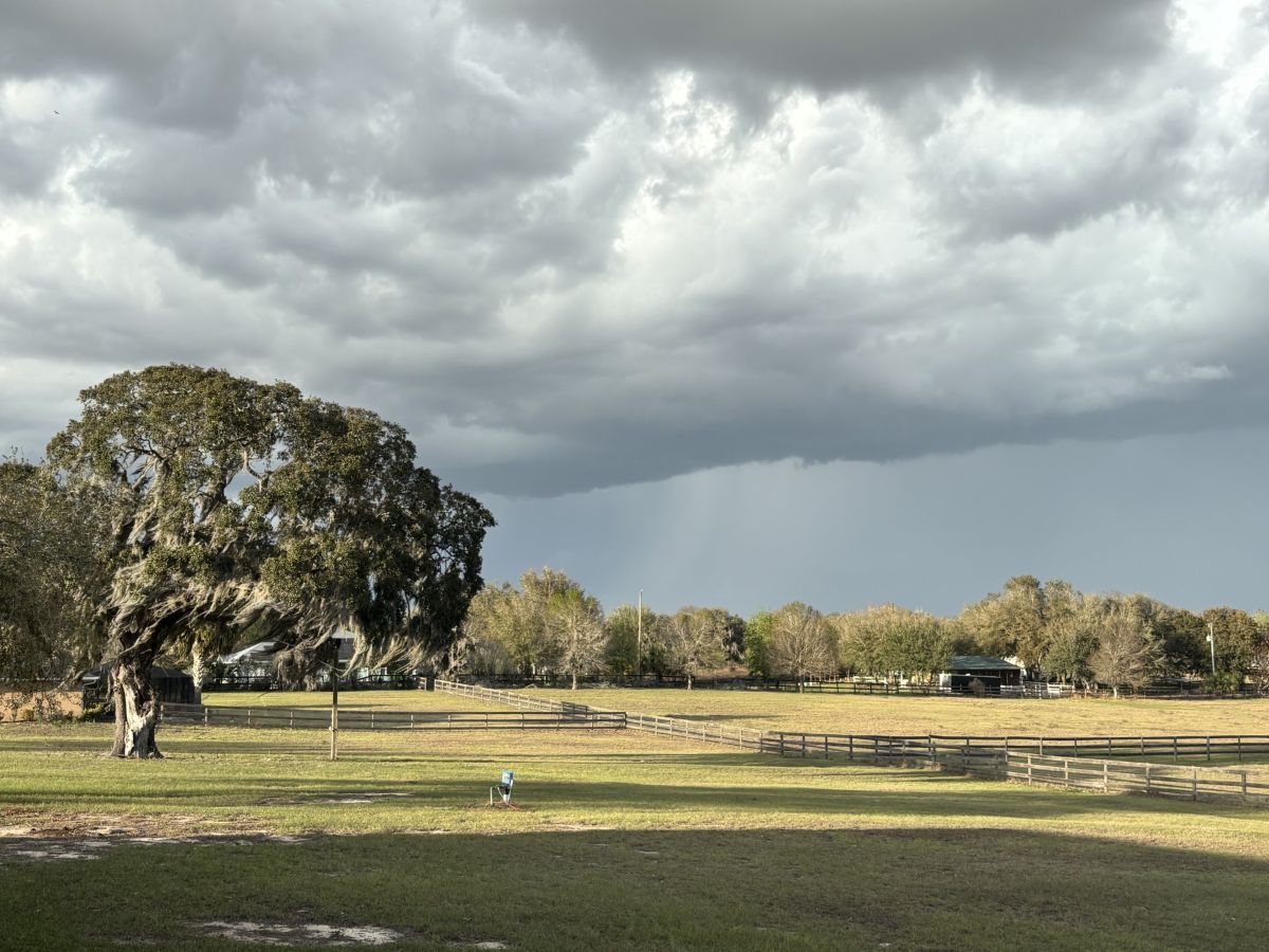
A tornado watch has been issued for Alachua and Marion Counties from 1:33 p.m. until 8 p.m. on Monday, March 16.

Monday will be wet in the 352, according to the National Weather Service, but things should be clear and cool through the rest of the week.

Whoever said its April showers that bring May flowers never lived in North Central Florida in March.
The National Weather Service predicts some unseasonably warm weather for the first two-thirds of the workweek in North Central Florida.

Partly sunny days give way to low rain chances in the afternoons all weekend long in the North Central Florida region.

This local training will teach volunteers to recognize and report the development of potentially dangerous severe weather.

The mercury will rise all week in North Central Florida, but so will the chances for rain, according to the National Weather Service.

Things could get a little wet in North Central Florida as we head into the weekend, according to the National Weather Service forecast for the 352.
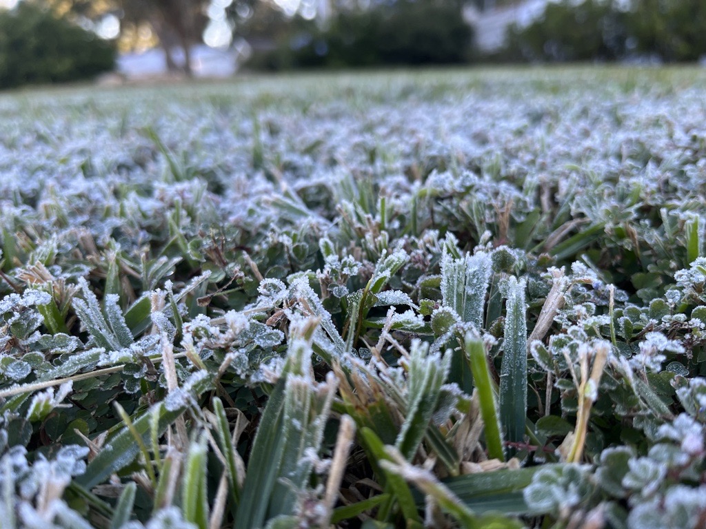
The first part of the week will find overnight temperatures in the 352 back down around freezing, according to the National Weather Service forecast for the area.

We’ll have a few more warmer-than-usual days before the next cold front rolls into the North Central Florida region Sunday night.