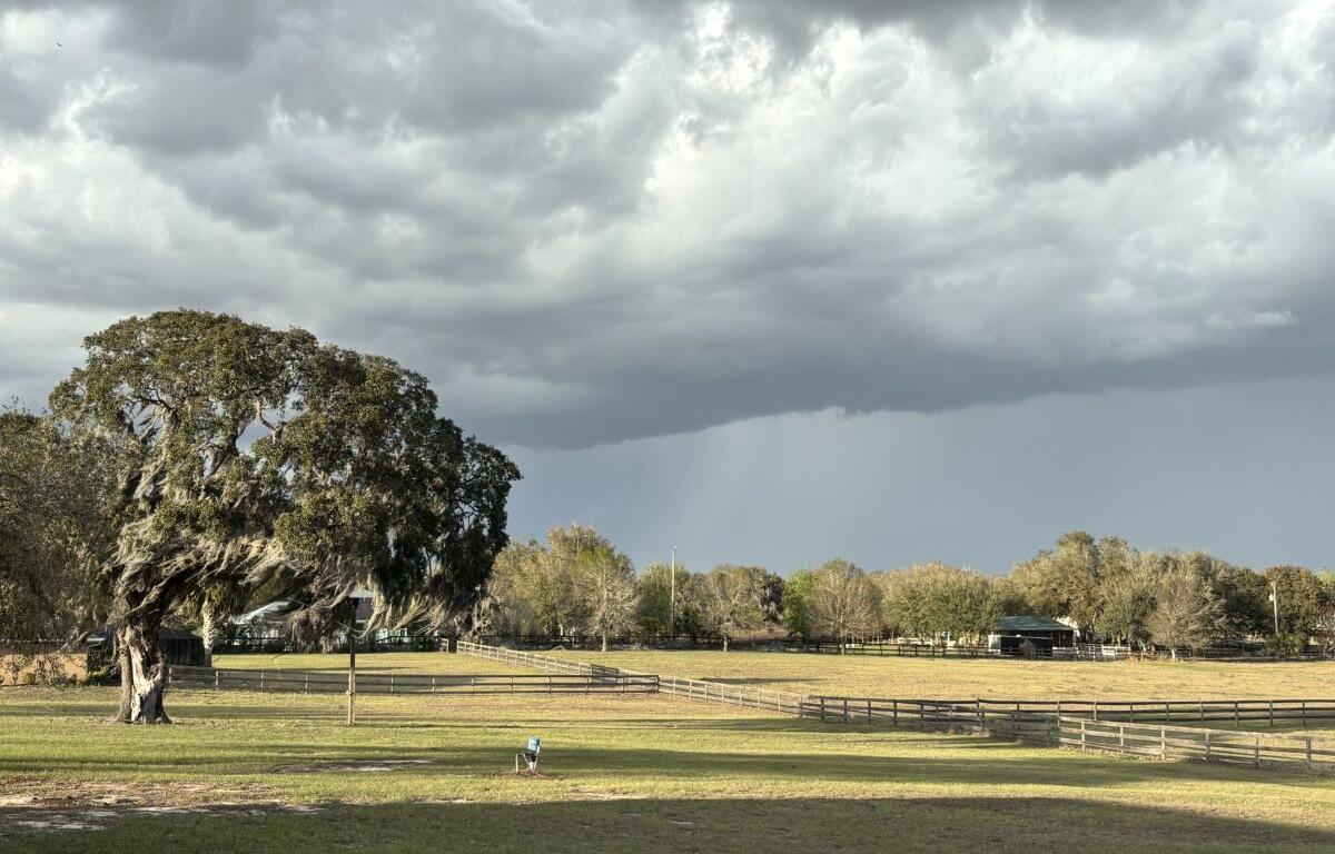

MARION COUNTY, FL (352today.com) – Apparently, summer started when March ended, as far as the National Weather Service’s forecast for North Central Florida is concerned.
Look for possible afternoon showers and even thunderstorms all weekend; the breezy days and temps under 90 are about the only indications we’re not in a full-on summer pattern.
Friday, April 3
Day: A 50 percent chance of showers and thunderstorms, mainly after 2 p.m. Increasing clouds, with a high near 87. Southeast wind 3 to 8 mph. Winds could gust as high as 15 mph. New rainfall amounts of less than a tenth of an inch, except higher amounts possible in thunderstorms.
Night: A 30 percent chance of showers and thunderstorms, mainly between 7 p.m. and 8 p.m. Partly cloudy, with a low around 64. East wind 5 to 7 mph.
Saturday, April 4
Day: A 20 percent chance of showers after 2 p.m. Mostly sunny, with a high near 88. Calm wind becoming east 5 to 7 mph in the morning. Winds could gust as high as 15 mph.
Night: Mostly clear, with a low around 63.
Sunday, April 5
Day: A 30 percent chance of showers and thunderstorms after 2 p.m. Mostly sunny, with a high near 89.
Night: A 30 percent chance of showers and thunderstorms before 8 p.m. Partly cloudy, with a low around 63.