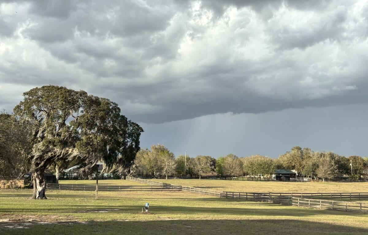

MARION COUNTY, FL (352today.com) – Well, at least the wildfire chances may have their own chance to drop this weekend, as the possibility of rain rises and dips throughout a warm and humid weekend.
According to the National Weather Service, North Central Florida could see rain at basically any time over the next few days, though chances are higher during the afternoons, which is a pretty standard pattern for our community.
Friday, May 8
Day: A chance of showers before 11 a.m., then a chance of showers and thunderstorms between 11 a.m. and 1 p.m., then showers likely and possibly a thunderstorm after 1 p.m. Mostly cloudy, with a high near 88. Northwest wind 5 to 8 mph. Chance of precipitation is 60 percent. New rainfall amounts between a quarter and half of an inch possible.
Night: A chance of showers before 10 p.m., then a slight chance of showers after 4 a.m. Mostly cloudy, with a low around 69. Northeast wind 5 to 7 mph becoming calm in the evening. Chance of precipitation is 30 percent.
Saturday, May 9
Day: A slight chance of showers before 7 a.mm, then a slight chance of showers and thunderstorms after 5 p.m. Mostly cloudy, with a high near 91. Light and variable wind becoming west 8 to 13 mph in the morning. Winds could gust as high as 20 mph. Chance of precipitation is 10 percent.
Night: A 10 percent chance of showers and thunderstorms before 8 p.m. Increasing clouds, with a low around 71. West wind 5 to 9 mph becoming calm in the evening.
Sunday, May 10
Day: A 20 percent chance of showers and thunderstorms after 2 p.m. Mostly cloudy, with a high near 91. Calm wind becoming west 5 to 8 mph in the afternoon.
Night: A 10 percent chance of showers and thunderstorms before 8 p.m. Mostly cloudy, with a low around 71.