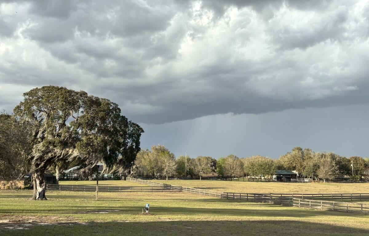

MARION COUNTY, FL (352today.com) – May’s just past halfway over, and the North Central Florida area is already flirting (again) with a standard summer weather pattern.
After Monday’s high of 91, rain chances after 2 p.m. or so will vary between 20 and 40 percent, according to the National Weather Service. Daytime highs will hang right there around 90, while nighttime temps should stay steadily into the low 70s for the first time since winter.
Here are the daily forecasts for this week:
Monday, May 18: Sunny, with a high near 91. East wind 5 to 8 mph, with gusts as high as 15 mph.
Monday night: Mostly clear, with a low around 70. East wind 5 to 10 mph becoming light after midnight. Winds could gust as high as 20 mph.
Tuesday, May 19: A 20 percent chance of showers and thunderstorms after 2 p.m. Mostly sunny, with a high near 91. East wind 3 to 7 mph. Winds could gust as high as 17 mph.
Tuesday night: Mostly clear, with a low around 70. East wind 5 to 7 mph becoming calm after midnight. Winds could gust as high as 17 mph.
Wednesday, May 20: A 40 percent chance of showers and thunderstorms after 2 p.m. Mostly sunny, with a high near 91.
Wednesday night: A 30 percent chance of showers and thunderstorms before 8 p.m. Partly cloudy, with a low around 71.
Thursday, May 21: A 30 percent chance of showers and thunderstorms after 2 p.m. Sunny, with a high near 92.
Thursday night:
A 30 percent chance of showers and thunderstorms, mainly before 8 p.m. Partly cloudy, with a low around 72.
Friday, May 22: A 40 percent chance of showers and thunderstorms after 2 p.m. Mostly sunny, with a high near 92.
Friday night: A 30 percent chance of showers and thunderstorms. Partly cloudy, with a low around 73.