


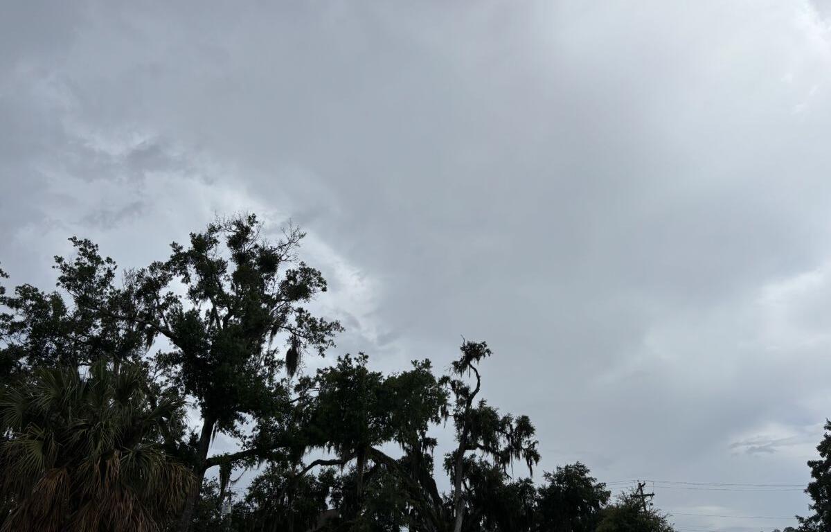

MARION COUNTY, FL (352today.com) – If you’re already complaining about the daytime heat in North Central Florida, the National Weather Service has some good news for you: All this rain is going to shave a few degrees off the highs this weekend.
We might not hit 90 at all, and daytime temps might be closer to the mid-80s by the time Sunday rolls around. Nighttime temperatures will stay warm and humid in the 70s while potential thunderstorms roll through, but we could get a shower or a thundering light show at practically any time after 5 p.m. on Friday.
Friday, May 29
Day: Showers and thunderstorms likely, mainly after 5 p.m. Partly sunny, with a high near 89. Calm wind becoming west around 5 mph in the afternoon. Chance of precipitation is 60 percent. New rainfall amounts of less than a tenth of an inch, except higher amounts possible in thunderstorms.
Night: A slight chance of showers and thunderstorms between 7 p.m. and 10 p.m. Mostly cloudy, with a low around 73. Calm wind. Chance of precipitation is 20 percent.
Saturday, May 30
Day: Showers likely and thunderstorms possible all day. Mostly cloudy, with a high near 87. Calm wind becoming west 5 to 8 mph in the afternoon. Winds could gust as high as 20 mph. Chance of precipitation is 60 percent.
Night: A chance of showers and thunderstorms. Mostly cloudy, with a low around 73. Chance of precipitation is 30 percent.
Sunday, May 31
Day: Showers likely before 11 a.m., then showers likely and possibly a thunderstorm. Mostly cloudy, with a high near 87. Chance of precipitation is 70 percent.
Night: Showers and thunderstorms likely before 2 a.m., then a chance of showers. Mostly cloudy, with a low around 72. Chance of precipitation is 60 percent.