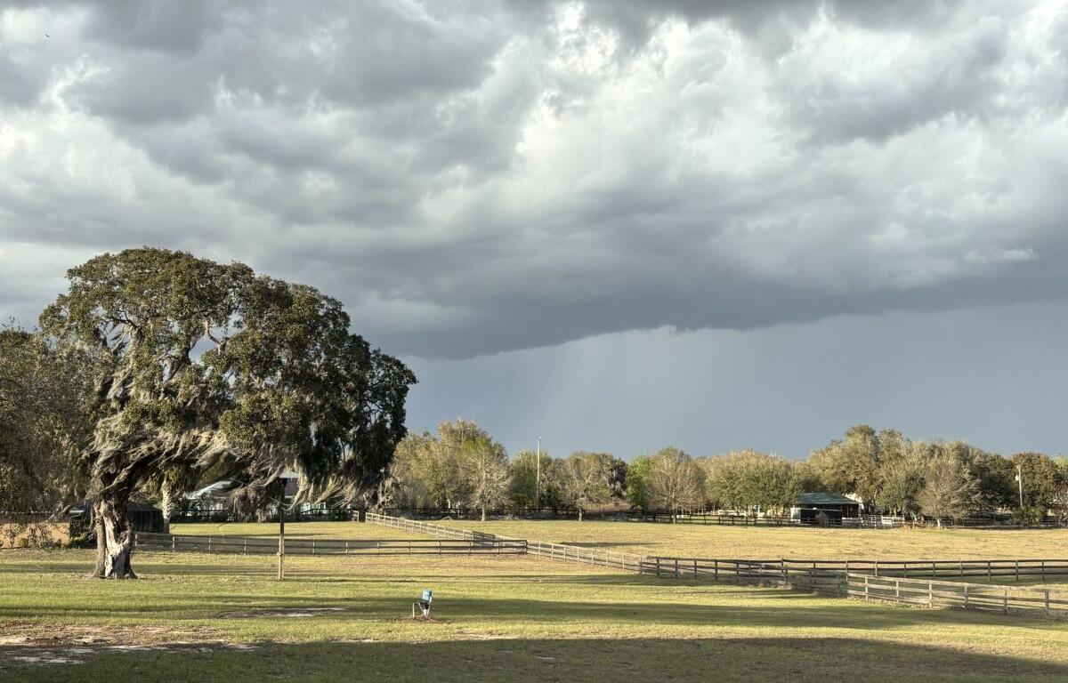

MARION COUNTY, FL (352today.com) – Our last few forecasts for North Central Florida have basically read pretty much like this: “It’s gonna rain. Probably. Probably somewhere it’ll rain around here. Maybe.”
That trend should continue until about Wednesday, according to the National Weather Service, with the rest of the week becoming mostly cloudy. Daytime temps will start to climb back toward 90 after bottoming out in the mid-80s mid-week, and nights may get into the 70s.
Here are the daily forecasts for this week:
Monday, June 1: A chance of showers, with thunderstorms also possible after 11 a.m. Partly sunny, with a high near 89. West wind 6 to 8 mph, with gusts as high as 20 mph. Chance of precipitation is 50 percent. New rainfall amounts between a tenth and quarter of an inch, except higher amounts possible in thunderstorms.
Monday night: Showers likely and possibly a thunderstorm before 8 p.m., then a slight chance of showers and thunderstorms between 8 p.m. and 10 p.m. Mostly cloudy, with a low around 75. West wind around 5 mph becoming calm in the evening. Chance of precipitation is 60 percent. New precipitation amounts of less than a tenth of an inch, except higher amounts possible in thunderstorms.
Tuesday, June 2: A slight chance of showers, then showers and thunderstorms likely after 11 a.m. Partly sunny, with a high near 90. Calm wind becoming west around 5 mph in the afternoon. Chance of precipitation is 70 percent.
Tuesday night:
Showers and thunderstorms likely. Mostly cloudy, with a low around 70. Calm wind becoming northeast around 5 mph after midnight. Chance of precipitation is 70 percent.
Wednesday, June 3: A 40 percent chance of showers and thunderstorms. Partly sunny, with a high near 83.
Wednesday night: Mostly cloudy, with a low around 65.
Thursday, June 4: Mostly sunny, with a high near 85.
Thursday night: Partly cloudy, with a low around 65.
Friday, June 5: Sunny, with a high near 87.
Friday night: Mostly clear, with a low around 66.