


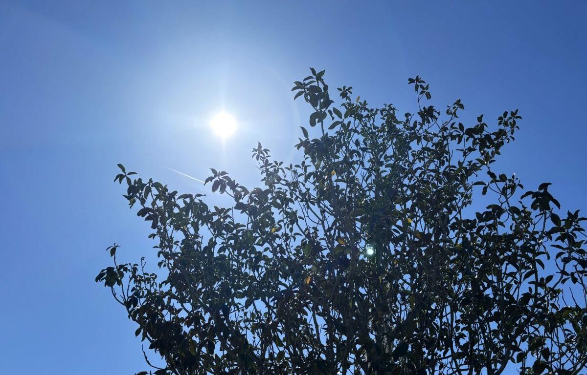

MARION COUNTY, FL (352today.com) – According to the National Weather Service, North Central Florida is going to get a little break from the afternoon thunderstorms that have actually been a bit more than afternoon thunderstorms over the past several days.
Monday’s chance of precipitation drops down to 20 percent, and those odds drop to zero for the middle of the week, when daytime temps will rise back into the mid-90s. That 20 percent returns at the end of the week, while nights will hang around 75 all week long.
Monday, August 10: A 20 percent chance of showers and thunderstorms after 3 p.m. Mostly sunny, with a high near 94. Heat index values as high as 105. Light and variable wind.
Monday night: A 10 percent chance of showers and thunderstorms before 7 p.m. Partly cloudy, with a low around 75. Calm wind.
Tuesday, August 11: Sunny, with a high near 94. Light and variable wind.
Tuesday night: Mostly clear, with a low around 75.
Wednesday, August 12: Sunny, with a high near 94.
Wednesday night: Mostly clear, with a low around 75.
Thursday, August 13: A 20 percent chance of showers and thunderstorms after 2 p.m. Sunny, with a high near 94.
Thursday night: A 10 percent chance of showers and thunderstorms before 8 p.m. Mostly clear, with a low around 75.
Friday, August 14: A 20 percent chance of showers and thunderstorms. Sunny and hot, with a high near 95.
Friday night: Partly cloudy, with a low around 75.