


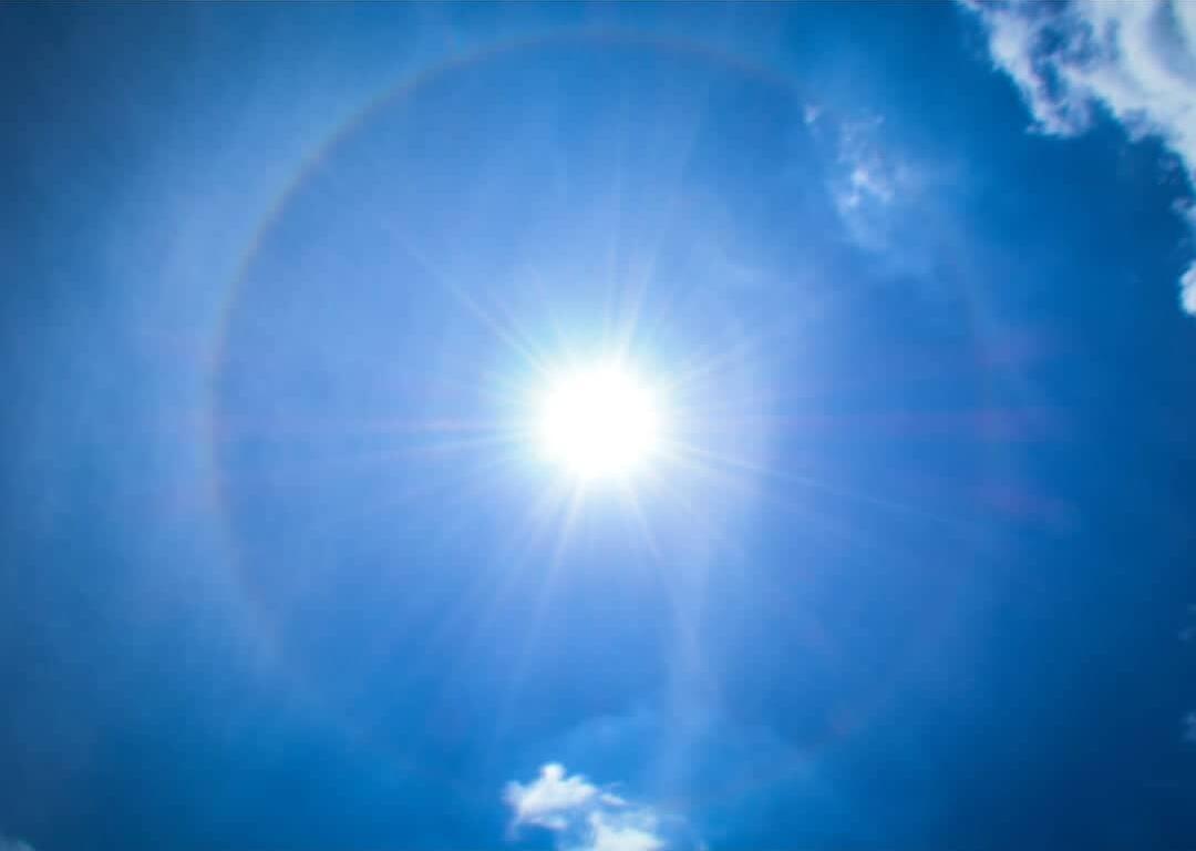

MARION COUNTY, FL (352today.com) – And you thought it was hot this week. The National Weather Service says things are about to get even hotter in North Central Florida as a heat dome settles over the Southeast, with “real” temperatures spiking toward triple digits while heat indexes might beat 110.
Will it rain? Let’s go with “eh, maybe but probably not.” Rain chances won’t rise above 30 percent this weekend, so don’t expect a respite from the blazing sun. Stay hydrated, apply sunscreen regularly and take stock of how you’re feeling often–it you get a little lightheaded or clammy, find shade and water immediately.
Friday, August 14
Day: A 30 percent chance of showers and thunderstorms, mainly after 3 p.m. Mostly sunny and hot, with a high near 98. Heat index values as high as 110. Calm wind.
Night: A chance of showers and thunderstorms before 11 p.m., then a slight chance of showers between 11 p.m. and 2 a.m. Partly cloudy, with a low around 75. Calm wind. Chance of precipitation is 30 percent.
Saturday, August 15
Day: A 30 percent chance of showers and thunderstorms after 2 p.m. Mostly sunny and hot, with a high near 97. Calm wind.
Night: A 30 percent chance of showers and thunderstorms before 8 p.m. Mostly clear, with a low around 76.
Sunday, August 16
Day: A 20 percent chance of showers and thunderstorms after 2 p.m. Sunny and hot, with a high near 98.
Night: A 20 percent chance of showers and thunderstorms before 2 a.m. Partly cloudy, with a low around 76.