


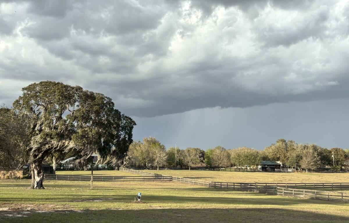

MARION COUNTY, FL (352today.com) – According to the National Weather Service, the North Central Florida area is facing rain chances that hover around 50 percent this weekend—which, in Florida, means it’s probably gonna rain.
Daytime temps are projected to be in the low to mid-90s, with heat indexes topping out around 105. Nights will stick in the mid-70s, with much lower chances of rain or thunderstorms.
Friday, August 21
Day: Showers and thunderstorms likely, mainly before 3 p.m. Increasing clouds, with a high near 93. Heat index values as high as 105. Calm wind becoming west around 6 mph in the afternoon. Chance of precipitation is 60 percent. New rainfall amounts between a tenth and quarter of an inch, except higher amounts possible in thunderstorms.
Night: Partly cloudy, with a low around 74. Light south wind.
Saturday, August 22
Day: A chance of showers and thunderstorms before 8 a.m., then a chance of showers between 8 a.m. and 11 a.m., then a chance of showers and thunderstorms after 11 a.m. Partly sunny, with a high near 91. Heat index values as high as 102. Southwest wind 3 to 8 mph. Winds could gust as high as 17 mph. Chance of precipitation is 50 percent.
Night: A slight chance of showers between 2 a.m. and 5 a.m., then a slight chance of showers and thunderstorms after 5 a.m. Partly cloudy, with a low around 74. Light southwest wind. Chance of precipitation is 20 percent.
Sunday, August 23
Day: A 50 percent chance of showers and thunderstorms, mainly after 8 a.m. Partly sunny, with a high near 91.
Night: A 20 percent chance of showers and thunderstorms before 2 a.m. Partly cloudy, with a low around 73.