


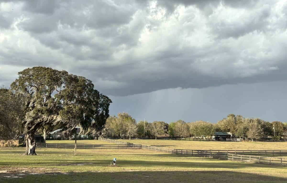

MARION COUNTY, FL (352Today.com) – Well, that was awesome while it lasted, right? Those breezy, autumn-y nights? After tomorrow night, it looks like we’ll be returning to our familiar summer pattern.
According to the National Weather Service, nighttime temperatures are expected to creep back into the low 70s, while daytime temps will hover near 90. Look for rain chances to blow back into the picture on Wednesday, and reach 50 percent by Friday.
Monday, September 28: Mostly sunny, with a high near 90. Light south wind.
Monday night: Partly cloudy, with a low around 68. Light and variable wind.
Tuesday, September 29: Mostly sunny, with a high near 90. Light and variable wind.
Tuesday night: Partly cloudy, with a low around 70. Calm wind.
Wednesday, September 30: A 40 percent chance of showers and thunderstorms after 2 p.m. Mostly sunny, with a high near 90.
Wednesday night: A 30 percent chance of showers and thunderstorms before 8 p.m. Partly cloudy, with a low around 71.
Thursday, October 1: A 50 percent chance of showers and thunderstorms after 2 p.m. Mostly sunny, with a high near 90.
Thursday night: A 30 percent chance of showers and thunderstorms before 8 p.m. Mostly cloudy, with a low around 72.
Friday, October 2: A slight chance of showers, then showers likely and possibly a thunderstorm after 2 p.m. Partly sunny, with a high near 90. Chance of precipitation is 60 percent.
Friday night: Showers and thunderstorms likely. Mostly cloudy, with a low around 73. Chance of precipitation is 60 percent.