


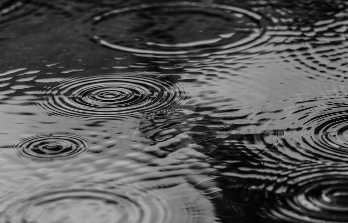

MARION COUNTY, FL (352today.com) – The high rain chances will keep things cooler during the day for most of the weekend, before Sunday’s precipitation drops and the temperatures rise again.
According to the National Weather Service, both the temps and the rain chances will be in the 80s on Friday and Saturday; then the former cranks back up into the 90s while the latter drops down to somewhere around 30 percent.
Friday, August 7
Day: Showers and thunderstorms likely, then showers and possibly a thunderstorm after 3 p.m. High near 89. Heat index values as high as 100. Northeast wind 5 to 8 mph, with gusts as high as 20 mph. Chance of precipitation is 80 percent. New rainfall amounts between a tenth and quarter of an inch, except higher amounts possible in thunderstorms.
Night: Showers likely, mainly before 8 p.m. Mostly cloudy, with a low around 74. East wind around 5 mph becoming calm in the evening. Winds could gust as high as 15 mph. Chance of precipitation is 60 percent.
Saturday, August 8
Day: Showers and thunderstorms, mainly after 2 p.m. High near 90. Light southeast wind. Chance of precipitation is 80 percent.
Night: Showers and thunderstorms before 11 p,m., then a slight chance of showers between 11 p.m. and 2 a.m. Low around 74. Chance of precipitation is 80 percent.
Sunday, August 9
Day: A 50 percent chance of showers and thunderstorms after 2 p.m. Mostly sunny, with a high near 92.
Night: A 30 percent chance of showers and thunderstorms before 8 p.m. Partly cloudy, with a low around 75.