According to the National Weather Service, the Marion County region will see a nice weekend and not experience any fallout from the storm buffeting the rest of the country until Monday night’s cold front.

Look for rain to return to the 352 this week in the wake of the coldest temperatures the area has seen so far this winter.
Temperatures will be coldest in the Marion County region overnight Sunday into Monday.
Lake County will operate an overnight cold-weather shelter at Eustis’s LifePoint Church Friday, Sunday, Monday and Tuesday nights.

Thursday night’s cold will set the stage for a weekend of cold and wet, according to the National Weather Service forecast for the Marion County region.
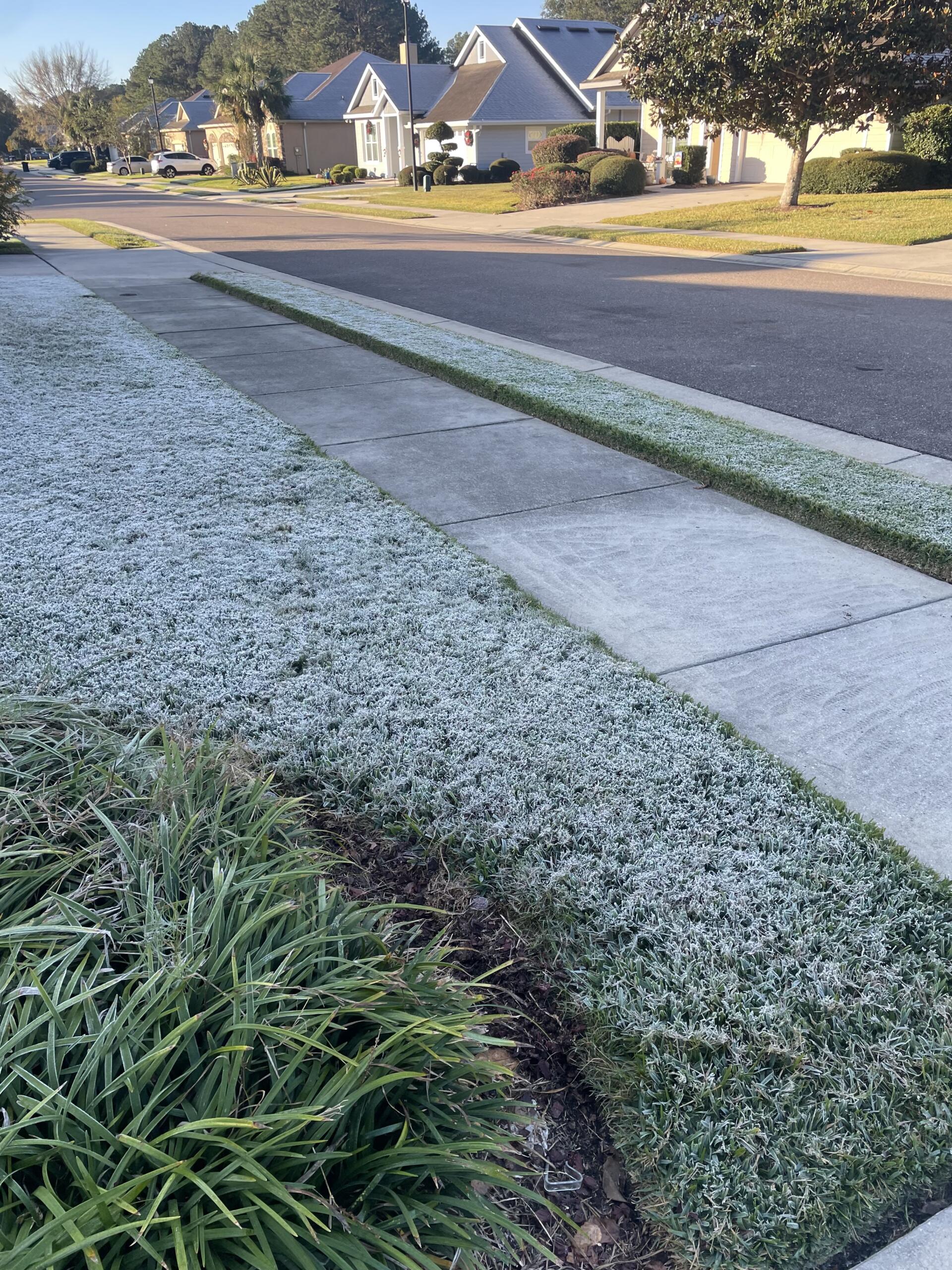
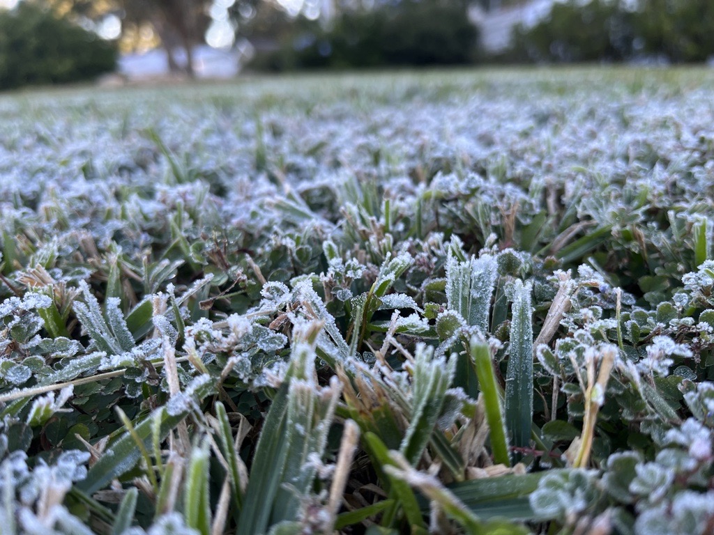
The weather forecast for North Central Florida for this week calls for cooler temperatures, some rain and possibly frost toward the end of the week.

Warm days and potentially rainy nights might be coming to the 352 this weekend, according to the National Weather Service.

Overnight fog will stick around the 352 for the first half of the workweek.

The North Central Florida weather forecast for the weekend includes showers Saturday, Jan. 3.

Lake County will operate a cold-weather shelter at LifePoint Church in Eustis Dec. 30-31, 2025, and provide transit for residents in need.