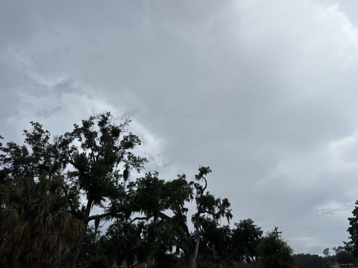
The heat continues to creep in North Central Florida, but it doesn’t look like showers are coming this week.
Should you plan for rain? It depends, North Central Florida, it depends.
North Central Florida will only get out of the 90s during the day once this week, then settle back into hot days and thunderstorm chances.
The highest daytime temperatures so far are on tap this weekend for North Central Florida, according to the National Weather Service.
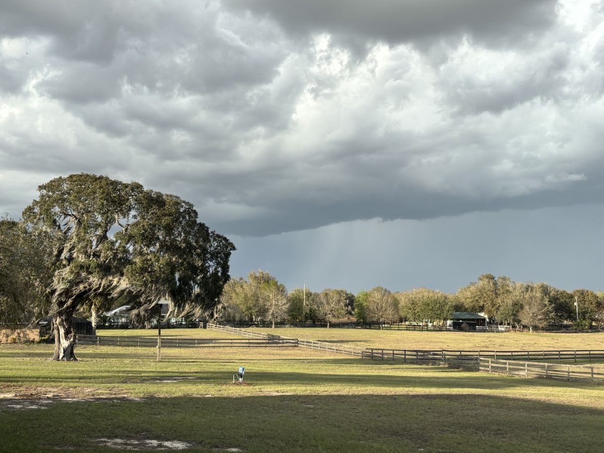
We’ve got a few more days of rain chances in the 352 before things start to dry out and heat back up.
It’s gonna stay pretty wet this weekend, but on the bright side, any rain is going to put a dent in those steamy daytime temps.
Recent rainfall totals and the forecast for more in the region led to county officials rescinding the ban.

Afternoons hold the same potential for showers as last week, but chances for overnight thunderstorms are on the rise.
MCSO’s Division of Emergency Management will host a free preparedness event in Ocala June 13, but you need to register to reserve a spot.

More p.m. rain chances and warmer nights are on tap for North Central Florida this weekend, according to the National Weather Service.