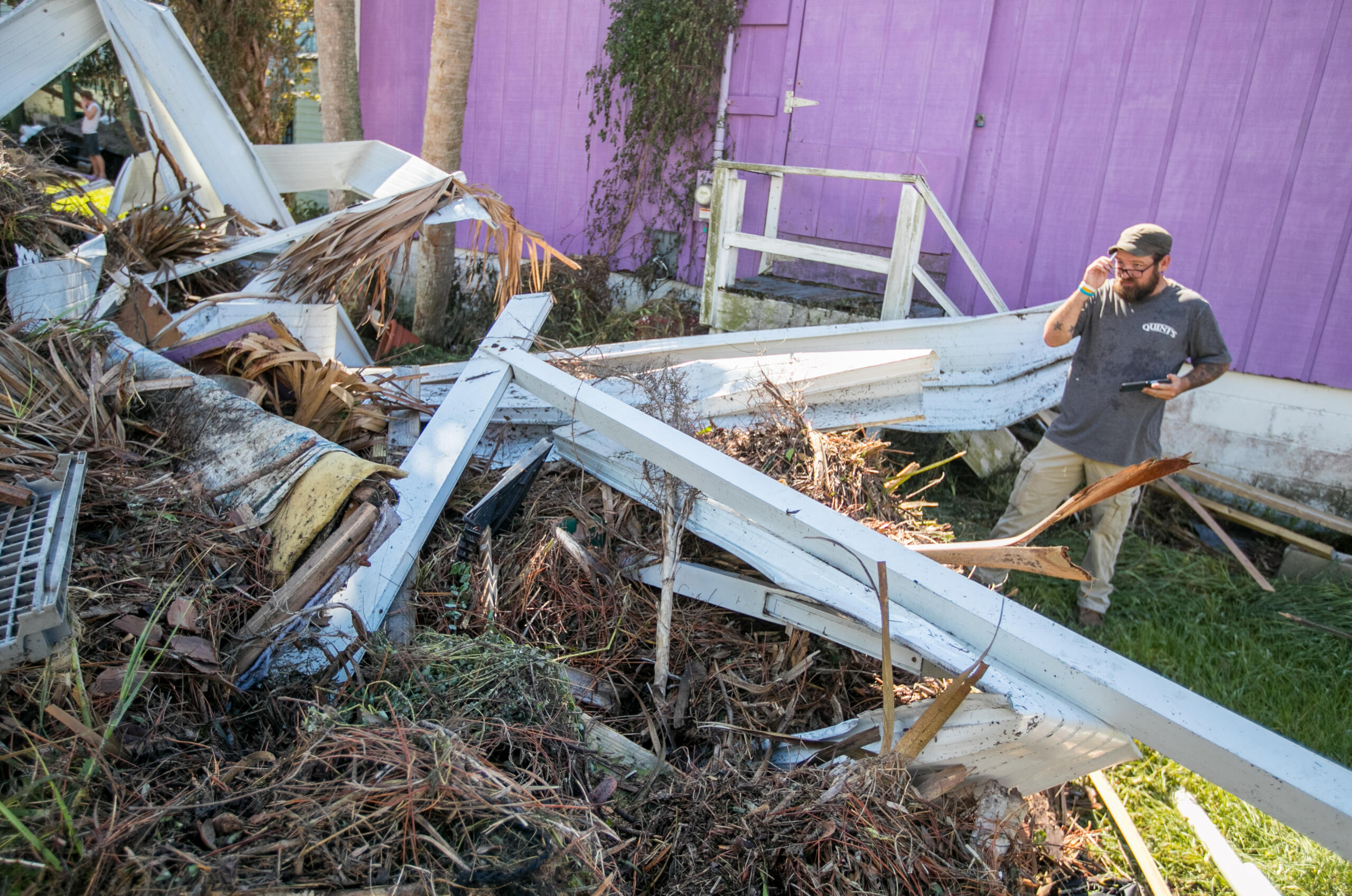
The National Hurricane Center has released its tropical cyclone report for Hurricane Idalia which indicates the 2023 storm was responsible for 12 fatalities and an estimated $3.6 billion in damage in the United States.
The National Weather Service says storms will roll into North Central Florida by Monday afternoon.
The Florida Department of Transportation says SR 471 has now reopened.
The extremes of Florida’s temperatures can not only be uncomfortable, but it can also be dangerous – even deadly.
The National Weather Service doesn’t have any rain in the weekend forecast.
The Florida Division of Emergency Management says nearly 40% of all hurricanes that strike the United States make landfall in Florida.
NASA says observations from the climate satellite will help scientists improve hurricane and other severe weather forecasts and better predict when harmful algae blooms will happen.

Did you know? The average lead time (the time between when a warning is issued and a tornado touchdown) is 10-20 minutes.
Florida severe weather awareness week continues Tuesday with the focus on marine hazards and rip currents.
Florida averages seven fatalities per year due to lightning and often leads the nation in lightning deaths.