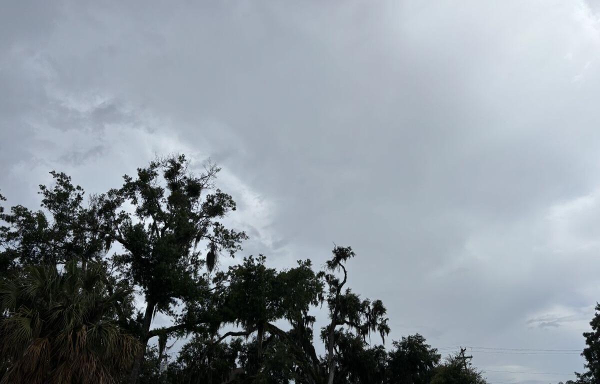

MARION COUNTY, FL (352today.com) – As the first real month of summer comes to a close, the 352 seems to be settling into its familiar summer weather patterns albeit with lower afternoon rain chances than we’re used to seeing this time of year.
According to the National Weather Service, Tuesday is the only day when showers and thunderstorms are pretty much guaranteed sometime between 2 and 8 p.m. For the rest of the week, chances hover around 30 percent, which may not do much to cut into some seriously stagnant afternoon heat.
Monday, June 29: A 30 percent chance of showers and thunderstorms, mainly after 4 p.m. Increasing clouds and hot, with a high near 95. Heat index values as high as 107. Light and variable wind.
Monday night: A 30 percent chance of showers and thunderstorms, mainly before 8 p.m. Mostly cloudy, then gradually becoming clear, with a low around 76. Calm wind.
Tuesday, June 30: Showers likely and possibly a thunderstorm, then showers and thunderstorms after 2 p.m. High near 93. Heat index values as high as 103. Calm wind becoming north around 5 mph in the afternoon. Chance of precipitation is 80 percent.
Tuesday night: Showers and thunderstorms before 8 p.m. Low around 75. Calm wind. Chance of precipitation is 80 percent.
Wednesday, July 1: A 30 percent chance of showers and thunderstorms after 2 p.m. Mostly sunny, with a high near 93.
Wednesday night: A 30 percent chance of showers and thunderstorms before 8 p.m. Partly cloudy, with a low around 74.
Thursday, July 2: A 40 percent chance of showers and thunderstorms, mainly after 2 p.m. Mostly sunny, with a high near 93.
Thursday night: A 30 percent chance of showers and thunderstorms before 8 p.m. Partly cloudy, with a low around 74.
Friday, July 3: A 40 percent chance of showers and thunderstorms after 2 p.m. Mostly sunny, with a high near 94.
Friday night: A 30 percent chance of showers and thunderstorms. Partly cloudy, with a low around 75.