


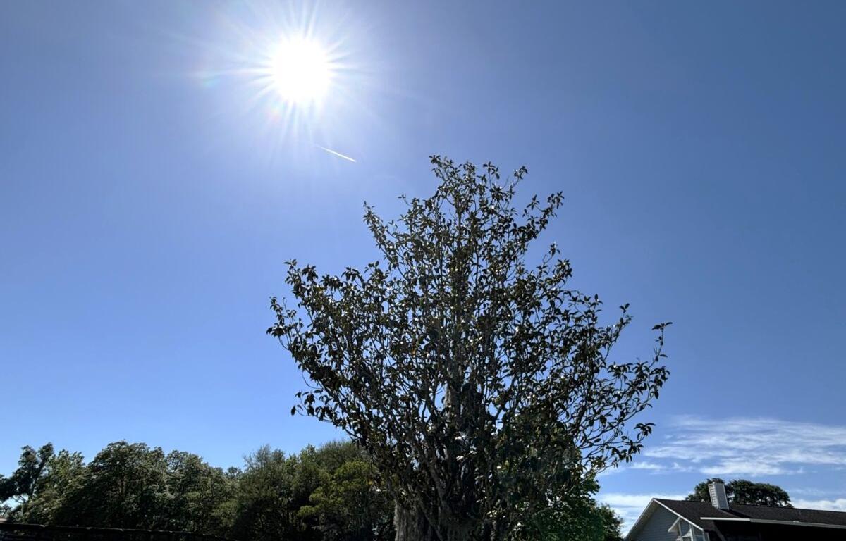

MARION COUNTY, FL (352today.com) – Try not to be shocked, but it’s going to be another week of hot days with even hotter heat indexes, along with rain chances that vary from “eh, maybe” to “eh, maybe not.”
According to the National Weather Service, we’ll kick off the week with a 20 percent chance of rain on Monday, which will rise to 50 percent on Tuesday before bouncing between the two all week. Who are we kidding? Expect rain in the afternoon, though it may not happen, and otherwise live your life as though you might turn into bacon if you stay outside too long before nightfall.
Monday, August 24: A 20 percent chance of showers and thunderstorms after 3 p.m. Mostly sunny, with a high near 94. Heat index values as high as 107. Light southwest wind.
Monday night: A 10 percent chance of showers and thunderstorms before 7 p.m. Partly cloudy, with a low around 74. Calm wind.
Tuesday, August 25: A 50 percent chance of showers and thunderstorms after 2 p.m. Mostly sunny, with a high near 92. Heat index values as high as 102. Calm wind becoming southwest around 5 mph in the afternoon.
Tuesday night: A 30 percent chance of showers and thunderstorms before 8 p.m. Mostly cloudy, with a low around 73. Calm wind.
Wednesday, August 26: A 40 percent chance of showers and thunderstorms after 2 p.m. Mostly sunny, with a high near 93.
Wednesday night: A 30 percent chance of showers and thunderstorms before 8 p.m. Partly cloudy, with a low around 73.
Thursday, August 27: A 50 percent chance of showers and thunderstorms after 2 p.m. Mostly sunny, with a high near 93.
Thursday night: A 30 percent chance of showers and thunderstorms before 8 p.m. Partly cloudy, with a low around 73.
Friday, August 28: A 50 percent chance of showers and thunderstorms after 2 p.m. Mostly sunny, with a high near 93.
Friday night: A 30 percent chance of showers and thunderstorms. Mostly cloudy, with a low around 73.