


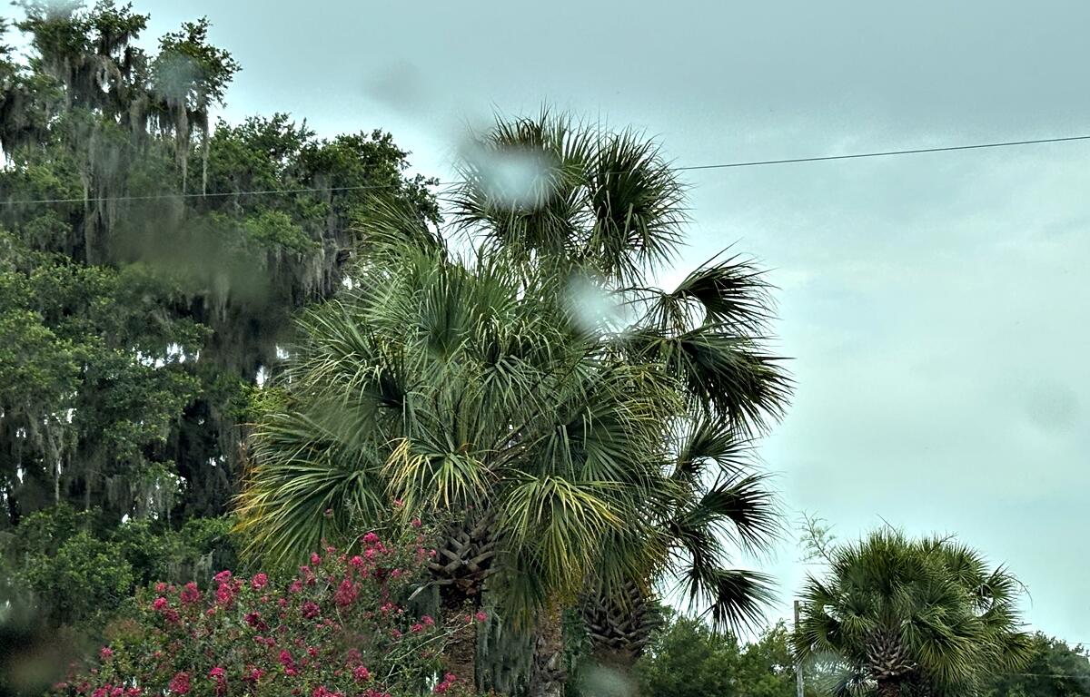

OCALA, FL (352today.com) – Florida dodged a bullet this Fourth of July weekend as Tropical Storm Chantal curved northward, sparing the Sunshine State and making landfall in the Carolinas instead. While we escaped the worst of the storm, its outer bands still brought scattered showers and stormy skies to parts of Marion County, adding some drama to the fireworks shows.
Now that Chantal’s gone, the heat is here to stay. Ocala and surrounding areas are in for a steamy stretch with daily highs in the upper 80s to low 90s, paired with sky-high humidity. Rain chances remain elevated all week, so keep an umbrella handy as afternoon downpours and isolated thunderstorms will be the norm.
Here’s your day-by-day outlook from the National Weather Service.
Monday: A chance of showers and thunderstorms before 2 p.m., then showers likely and possibly a thunderstorm between 2 p.m. and 3 p.m., then a chance of showers and thunderstorms after 3 p.m. Partly sunny, with a high near 90. Heat index values as high as 101. Calm wind becoming southwest 5 to 8 mph in the morning. Chance of precipitation is 60%. New rainfall amounts between a tenth and quarter of an inch, except higher amounts possible in thunderstorms.
Monday Night: A 20% chance of showers and thunderstorms before 9 p.m. Partly cloudy, with a low around 73. Southwest wind around 5 mph becoming calm in the evening.
Tuesday: A slight chance of showers, then a chance of showers and thunderstorms after 11 a.m. Partly sunny, with a high near 91. Heat index values as high as 100. Calm wind becoming west around 6 mph in the afternoon. Chance of precipitation is 50%. New rainfall amounts of less than a tenth of an inch, except higher amounts possible in thunderstorms.
Tuesday Night: A chance of showers and thunderstorms before 11 p.m., then a slight chance of showers between 11 p.m. and 2 a.m. Mostly cloudy, with a low around 73. Chance of precipitation is 30%.
Wednesday: Showers and thunderstorms, mainly between 2 p.m. and 5 p.m., then showers and possibly a thunderstorm after 5 p.m. High near 91. Light southwest wind. Chance of precipitation is 80%.
Wednesday Night: Showers and thunderstorms before 11 p.m., then a slight chance of showers between 11 p.m. and 2 a.m. Low around 74. Chance of precipitation is 80%.
Thursday: A chance of thunderstorms, then showers and thunderstorms after 8 a.m. High near 91. Chance of precipitation is 80%.
Thursday Night: Showers and thunderstorms before 8 p.m. Low around 73. Chance of precipitation is 80%.
Friday: Showers and thunderstorms. High near 90. Chance of precipitation is 80%.
Friday Night: Showers and thunderstorms. Low around 73. Chance of precipitation is 80%.
Get your 352 weather info here anytime you need it or download our free app. Be sure to enable the weather alert to receive notifications to your cellphone.
More news that matters to you…
-
If you sell from the roadside in Marion County, these rules are coming back
Marion County commissioners sent proposed food truck and roadside vendor rules back to staff after operators said the Aug. 26 draft was too vague to follow.
-
The 352Today Halloween Guide to all things Halloween-y in North Central Florida is here
From Ocala to Dunnellon, Citra and beyond, we’ve got you covered for Halloween fun.
-
Halloween in the 352: Your comprehensive calendar of spooky events
The month many revelers and scare-me-sillies wait for all year is here, and there’s more than enough to do in North Central Florida this Halloween season.
-
The 352’s Most Haunted: 7 places with spooky stories
From historic buildings and former hotels to a theater and an eerie stretch of road, these seven real places around the 352 have developed reputations for paranormal activity and spooky stories.
-
Marion County Sheriff’s Office and National Weather Service announce next Skywarn workshop
Join the network of amateur weather spotters who are trained to know what to look for, and how to report it.