


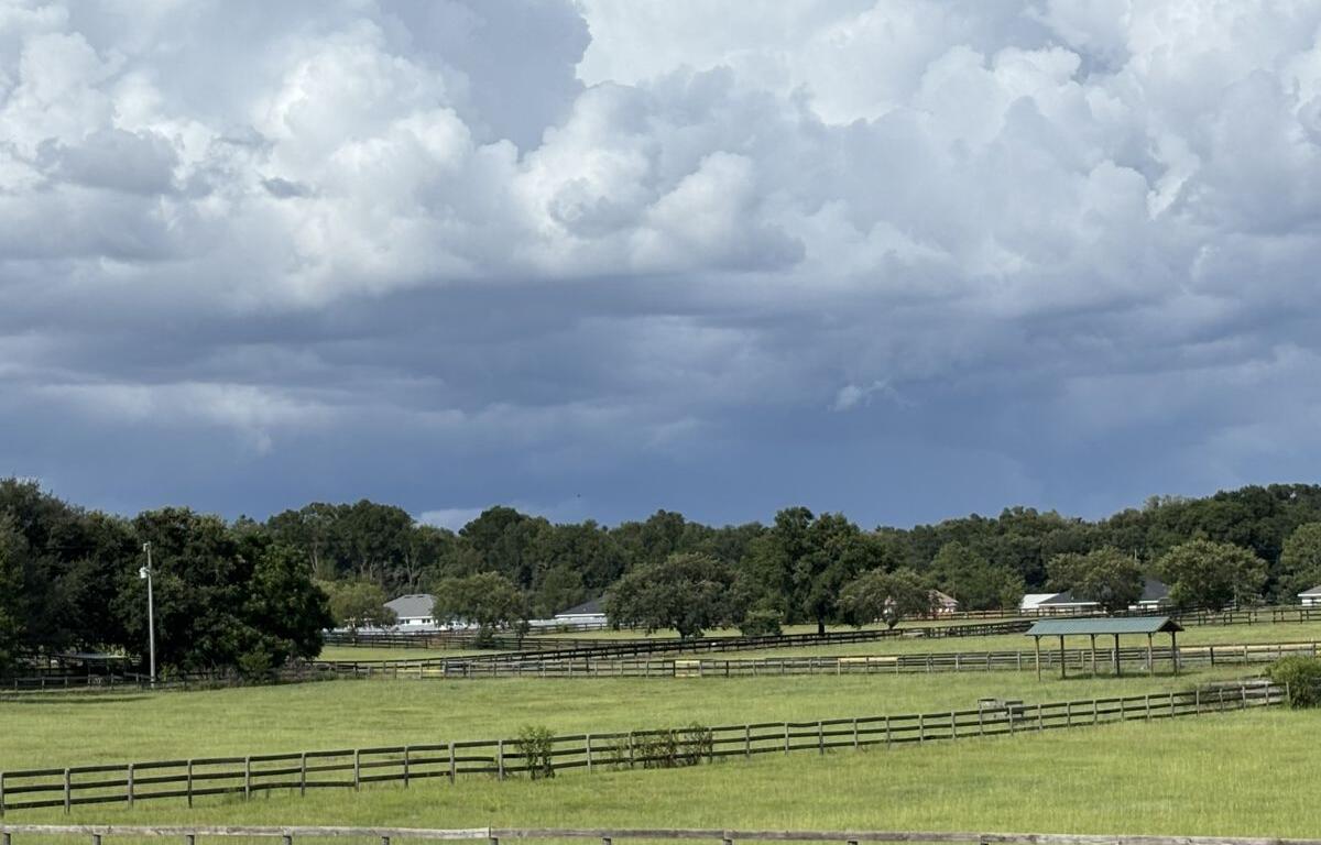

MARION COUNTY, FL (352today.com) – The conundrum of covering the weather in North Central Florida in the summer is that nobody needs to do it–we all know what the weather’s going to be like, give or take–but everybody needs to be watching because it’s hurricane season.
Thankfully, this hurricane season has been extremely slow so far. which, whew, but that leaves us telling you that, according to the National Weather Service, every other service and common sense, it’s gonna be super-hot this weekend and it’ll probably get around to raining in the afternoon on Sunday.
Friday, July 10
Day: A 20 percent chance of showers and thunderstorms after 3 p.m. Mostly sunny and hot, with a high near 98. Heat index values as high as 105. Light and variable wind.
Night:
A slight chance of showers and thunderstorms between 7 p.m. and 8 p.m. Partly cloudy, with a low around 76. Calm wind. Chance of precipitation is 10 percent.
Saturday, July 11
Day: A 50 percent chance of showers and thunderstorms after 2 p.m. Mostly sunny and hot, with a high near 96. Light and variable wind.
Night: A 40 percent chance of showers and thunderstorms before 2 a.m. Partly cloudy, with a low around 76.
Sunday, July 12
Day: A slight chance of showers, then showers and thunderstorms likely after 11 a.m. Mostly sunny and hot, with a high near 95. Chance of precipitation is 60 percent.
Night: Showers and thunderstorms likely, mainly before 8 p.m. Mostly cloudy, with a low around 76. Chance of precipitation is 60 percent.